Analyse
Field work - Biodiversity Data on Your Mobile or Tablet
gaia.eco is a browser-based platform for visualizing species occurrence data on an interactive map. Search species, measure distances, export data in CSV or Excel, and explore biodiversity with built-in sensitive species protection.
gaia.eco is a browser-based platform that consolidates biodiversity data into an interactive mapping interface. It is designed for ecologists, landscape architects, conservationists, and environmental planners who need to access, visualize, and export species occurrence data in both field and desktop environments.
Core Features
Interactive Map and Navigation
gaia.eco provides an interactive map with built-in location services and point-to-point distance measurement. The platform retains a history of previously searched species, allowing users to quickly revisit prior queries without re-entering search terms.
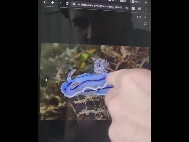
Species Data Visualization
Users can search for species by name and view occurrence records plotted on the map. The interface supports switching between a map view and a landscape-oriented table view, which displays structured data records for the selected species.
Data Privacy and Sensitive Species Protection
For species classified as vulnerable to threats such as poaching, gaia.eco applies a deliberate offset to reported GPS coordinates. This offset introduces a significant radius of uncertainty around each data point, preventing the disclosure of exact locations. On the map, these obscured records are indicated by circles with the uncertainty radius in meters representing where the individual could have been sighted.
Data Export
Species data tables can be downloaded in CSV or Excel format for offline analysis, integration with other tools, or use in reports and planning documents.
Use Cases
Ecological fieldwork — Access species occurrence data on-site using location services and distance measurement tools.
Conservation planning — Identify species presence in a given area to inform habitat protection or restoration strategies.
Urban and landscape planning — Incorporate biodiversity data into environmental impact assessments and site design.
Education and recreation — Explore local biodiversity for foraging and discovery.
Platform Requirements
gaia.eco runs entirely in the browser. No installation is required. It requires a continuous connection to the internet.
Forage for Biodiversity Data
Open map.gaia.eco.
Join our Community Forum
Any other questions? Get in touch