Search
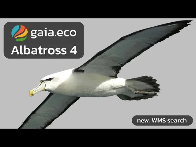
Introducing Albatross 4
Gaia Albatross 4 brings a new occurrence timeline, custom field data upload, and a GIS layers module for deeper ecological and biodiversity analysis.
Introducing
Albatross 4
The most powerful release of Gaia yet — built for ecologists, researchers, and GIS professionals who need more from their data.
What's New in Albatross 4
Albatross 4 delivers a substantially upgraded Map module and an all-new layers module, giving you deeper control over ecological data visualization, custom field data integration, and multi-source GIS analysis — all in one platform.
Map Module — Upgraded
Occurrence Timeline Widget:
Visualize species sightings across time with the new occurrence timeline widget. Select custom date ranges or step through data week by week to identify migration patterns, population trends, and seasonal spikes — directly on the map.
Custom Data Upload:
Bring your own field observations into Gaia by uploading Excel spreadsheets and mapping your columns to Gaia's data structure. Your data integrates seamlessly alongside global biodiversity datasets, with no preprocessing required.
Layers Module — New
Discover and Add GIS Layers The new Layers module lets you search, preview, and add open WMS and WFS data layers from authoritative public sources — including environmental protection agencies, geological surveys, and statistical bureaus.
Rich Feature Metadata:
Click any feature on the map to surface structured metadata: names, establishment dates, habitat classifications, and more — sourced directly from the originating organization.
Flexible Search:
Find layers by agency name, domain, or full URL. Whether you're looking for national park boundaries or soil composition data, Gaia's layer search adapts to how you already think about your data sources.
Everything Works Together
Layers added in the Layers module automatically appear as toggle widgets in the Map module. Overlay species occurrence data with habitat reserves, geological features, or land-use classifications — and switch between them without leaving your workflow.
Built For
Ecologists tracking species occurrence and migration
Environmental researchers integrating field data with open geodatabases
GIS professionals combining multi-source spatial datasets for ecosystem analysis
Albatross 4 is available now. Get started →
Join our Community Forum
Any other questions? Get in touch